
Google Maps AR
Google Maps AR, also known as Live View, is intended to assist you navigate while walking by using augmented reality. What does this imply? Rather of just displaying a map, it uses the camera on the back of the phone to determine where you are and directions as details on the display.

Google Maps AR Limitations


There aren’t many AR wayfinding apps at the moment because the industrial sector is just beginning to use AR, which may be used with smart glasses in the future. Nonetheless, the majority of universities use a static campus map that can be challenging to use.
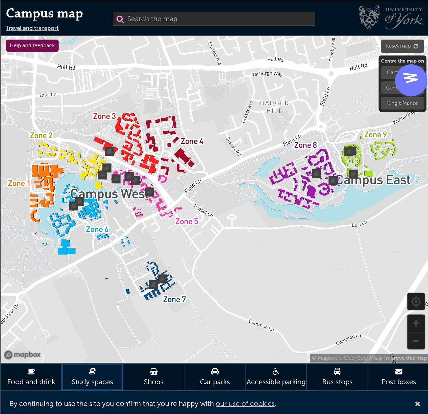
Different University Campus Maps
Summary
Even though the concept is reliable and has a lot of potential going forward, it was found that the wayfinding alternatives available now are still inaccurate after looking over the case studies. Thus, when developing an augmented reality wayfinder, the user should come first, with symbols that appear on the road and the ability to produce a realistic map.
References
Bibhash Biswas, Medium, 22 April 2019. Navigation in Augmented Reality from Google Maps [Online] (n.d.) Available at : https://medium.com/swlh/the-new-google-maps-in-ar-587285a5d523 [Accessed in 28 October 2023].
Chris Hall, Pocket-link, n.d. What is Google Maps AR navigation and Live View and how do you use it? [Online] (Updated in 17 September 2023) Avaliable at : https://www.pocket-lint.com/what-is-google-maps-ar-navigation-live-view/ [Accessed in 28 October 2023].
University of York, n.d. Campus Map [Online] (n.d.) Avaliable at : https://www.york.ac.uk/map/ [Accessed in 30 October 2023]