Categories
Proporsal

Post 2 : History of Wayfinding and Symbols

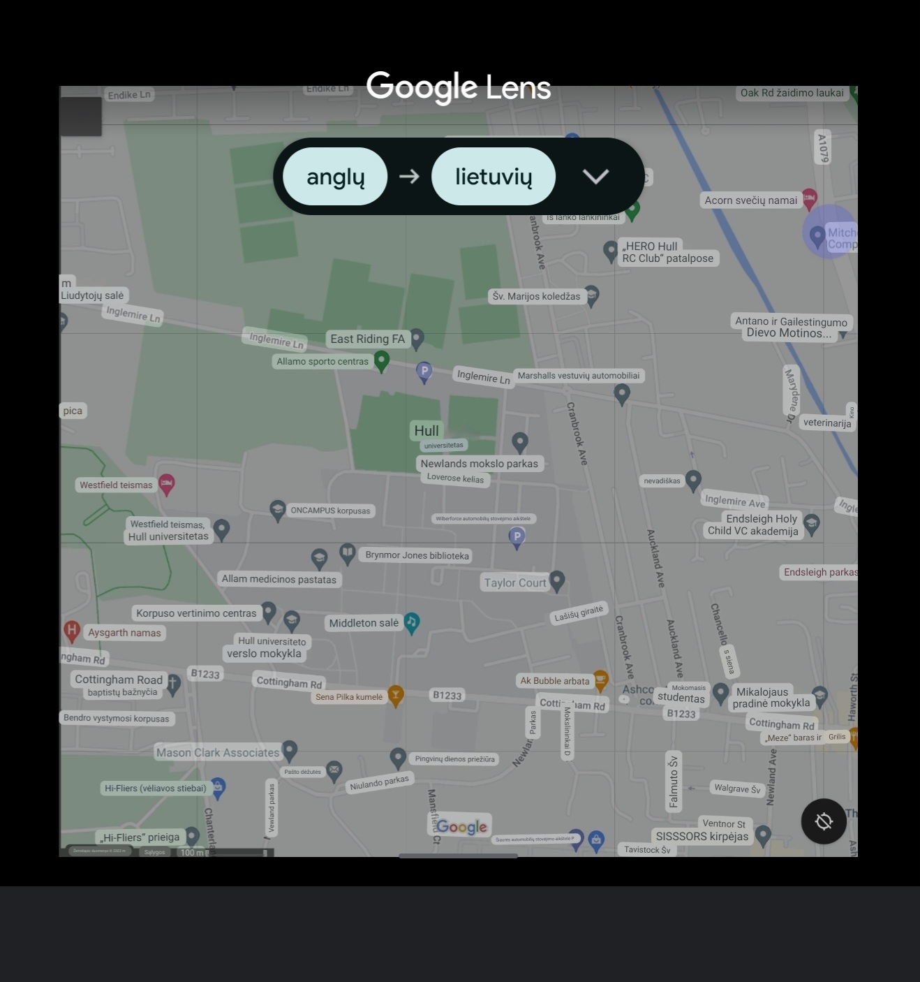
Wayfinding is the process of navigating through a building, environment, or location. Wayfinding consists of the actions you take to get to your goal, including choosing the optimal route, recognising your destination, and returning to the beginning point, all while using clear and logical signs, pictures, and symbols to help you remember your route (FastSigns, n.d).

Figure 1 : More than 3,500 years ago, in the days of ancient labyrinths and mazes, navigation had its beginnings. Architect Kevin Lynch coined the phrase “wayfinding” in 1960 to refer to the functions of street numbers, maps, directional signs, and other items in urban areas (Curtis Standley, purple, 11 March 2020).

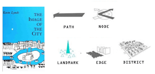
These symbols were used to assist people in navigating to landmarks, locations, and spaces in today’s environment, wayfinding and directional aids and technologies offer orientation and location awareness (Curtis Standley, purple, 11 March 2020).

Wayfing in Day-to-Day Life

Compared to the rest of our history, the past 50 years have seen enormous progress and improvements, primarily because to the unstoppable speed of economic expansion together with advances in science, technology, and even psychology (Curtis Standley, purple, 11 March 2020).

Figure 2 : In our daily lives, we encounter more and more complicated structures, all of which call for appropriate navigation signage, if not outright digital wayfinding solutions, so purple come up with potential way to help people (Curtis Standley, purple, 11 March 2020).

The creation of the mentioned things is also due to the fact that our world is getting more and more globalised, necessitating the employment of user-friendly wayfinding designs, which has led to the development of a common language (Curtis Standley, purple, 11 March 2020).

For instance, one in four persons in the US has a disability that could make getting about your facility more challenging. Furthermore, navigation can assist employees who work in intricate and dynamic situations in addition to tourists (Curtis Standley, purple, 11 March 2020).

Future of Wayfinding

Digital signs and wayfinding systems have become more widely known, but as technology advances, our ability to navigate both interior and outdoor spaces will probably also change. You may make it easier for guests to navigate your venue by installing digital navigation (Curtis Standley, purple, 11 March 2020).

Summary

Following extensive research on wayfinding and an examination of the available wayfinding solutions, the decision was taken to maintain the same symbol system since it is reliable and consistent with all other apps. Even if navigation has progressed to this point, there is still room for improvement with the aid of advancing technology.

References

Curtis Standley, purple, 11 March 2020. The History of Wayfinding [Online] (Updated in 20 October 2023) Available at : https://purple.ai/blogs/the-history-of-wayfinding/ [Accessed in 29 October 2023].

FastSigns, n.d. Wayfinding Signage [Online] (n.d.) Available at : https://www.fastsigns.co.uk/faq/wayfinding-signage/

[Accessed in 29 October 2023].

Categories
Proporsal

Post 1 : Introduction

Verbal communication will become a barrier in the world of travel and tourism as different countries prioritise their narrative language as part of their cultural etnicity. Most European countries utilise English as their primary communication language, which should reduce the speech barrier. English language learnt in school lacks vocal communication, thus if a person learns the language in school visits England, she or he must relearn the language because the country uses slang in most parts. As a result, it remains a barrier for any person who want to travel or stay in England.T

These kinds of issues were addressed in 2000’s by the Google ecosystem, which made language barriers easier by offering services like Google Translate and Maps, which have grown to be the most frequently used apps since you use them whenever you want to travel or locate a location on a map. To translate the instructions at any time, simply select Translate although the tools still need further improvement.

Google Translate

Figure 1 : As you can see, when you sign with your Google account, Google Translate adapts to the person’s narrative language and most of the text was translated although not everything or translation was slightly incorrect (Google Translate, n.d).

Google Maps

Figure 2 : When creating areas, signage, and the navigation and wayfinding system, there are several typical mistakes made in signage design. Examples include incorrect design, grouping, and particularly failing to take into account all potential consumers (Google Maps, 2023).

Visual Language

To address these issues, a viable solution would be to use visual language, which allows for faster communication and enhances vocabulary by the brain remembering the symbols, which aids in remembering the new term. The prospective visual language app and web tool should be accurate and allow for a smooth transition. This method will help alleviate the worry associated with becoming lost in a strange location.

Summary

With these issues in mind, a potential solution will be developed to improve the user experience and fix the challenges we are now experiencing. Inconsistency, translation errors, and accuracy are examples. By developing a new tool that makes extensive use of visual language and addresses all of the navigational issues that users face on a daily basis. Also, when people desire to travel overseas or enter the UK for the first time.

References

Google Maps, n.d. University of Hull [Online] (2023) Available at : https://www.google.com/maps/@53.7725549,-0.3666088,16z [Accessed in 29 October 2023]

Google Translate, n.d. University of Hull [Online] (n.d.) Available at : https://translate.google.com/?hl=lt&sl=en&tl=lt&op=images [Acccessed in 29 October 2023]